New Hope, PA ↔ Lambertville, NJ
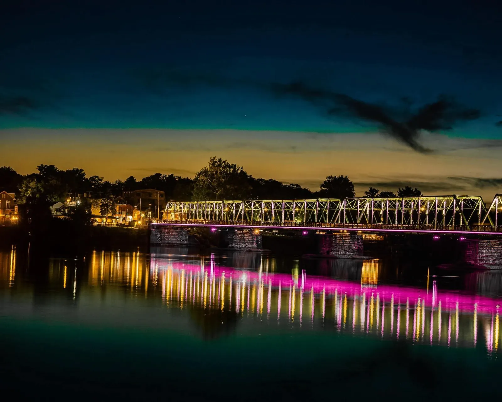
Photo: Jay Garrison
New Hope–Lambertville Bridge
River views from the historic steel bridge between two towns.
East Bridge Street, New Hope, across the Delaware to Bridge Street, Lambertville
Visit detailsA waterside walk through the town’s canal history.
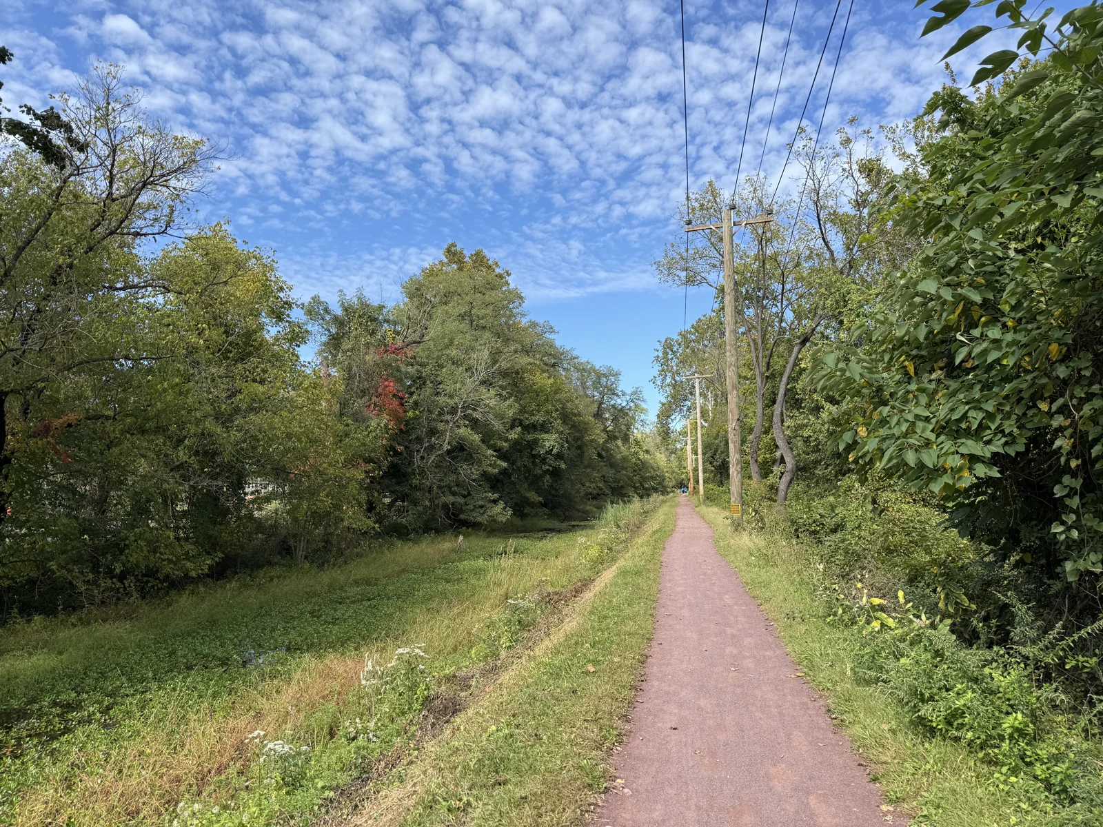
The historic canal and towpath connect New Hope to a much longer river corridor. Start with the local area map and choose a walk that fits current conditions.
DCNR lists sunrise-to-sunset park access and warns of infrastructure closures along the towpath. Check its current alerts before setting out; this guide does not certify any stretch is open or step-free.
Step-free access, restrooms and current conditions have not been independently verified. Check official information and posted signs.
Source pages checked . This editorial guide is independent of the site’s owner or operator. Photo credits are shown with each image.
River views from the historic steel bridge between two towns.
East Bridge Street, New Hope, across the Delaware to Bridge Street, Lambertville
Visit details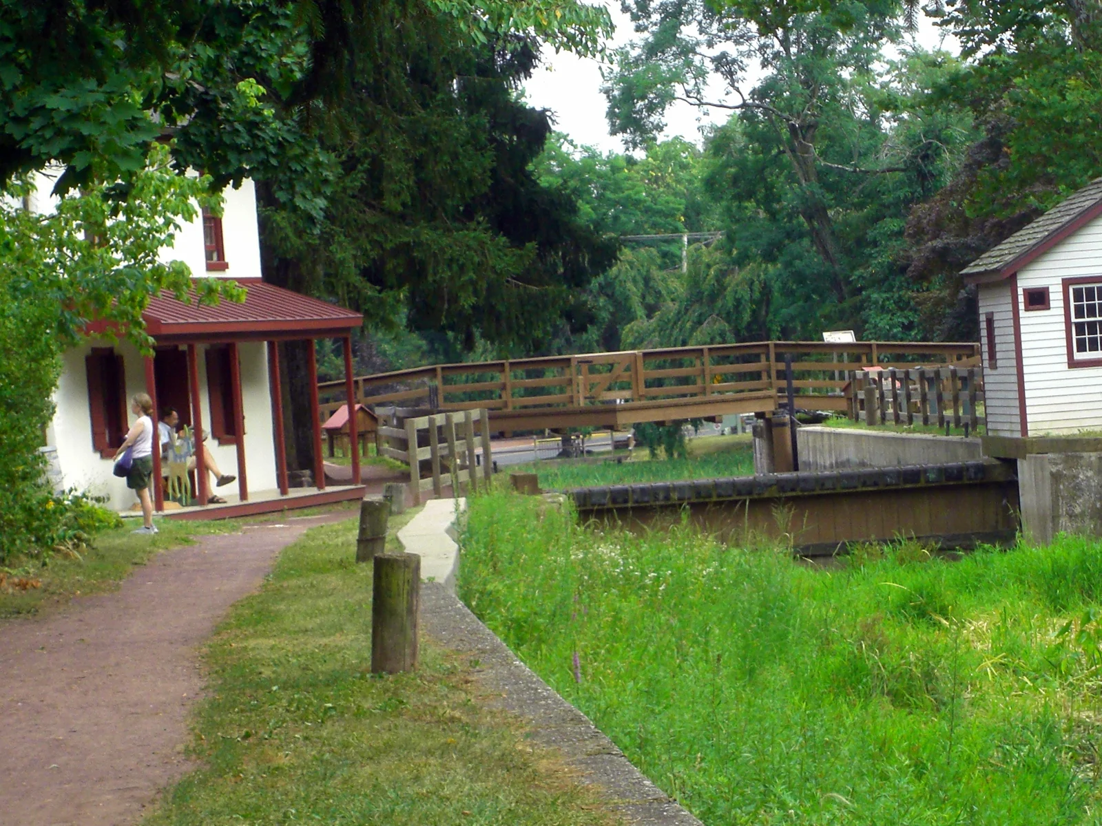
A canal-history stop with a newly refreshed native-plant garden.
145 South Main Street, at Lock 11 in Delaware Canal State Park
Visit detailsA canal-side pedestrian connection behind Union Square.
West side of the Delaware Canal, from the borough parking area behind Union Square toward the railroad station and downtown
Visit details